
Welcome to the arctic monitoring web-site
The Danish Arctic research institutions present updated knowledge on the condition of two major components of the Arctic: The Greenland Ice Sheet and the sea ice
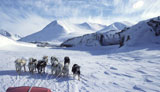
Field work in South Greenland: With shovel and scales
by Robert S. Fausto, GEUS
A recently completed field study in South Greenland helps to validate the winter snowfall in weather models used to calculate the surface mass balance of the Polar Portal
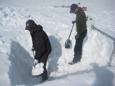
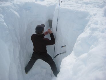
A team of GEUS - glaciologists have been on the ice sheet in the beginning of May to make valuable snow accumulation measurements in south Greenland. The winter precipitation falls mainly as snow and thereby gives mass to the ice sheet. Snowfall is a direct factor for what the total annual mass loss of the ice sheet ends up being because the summer ablation has been increasing significantly for many years. Sunlight, which is the primary energy source for melting, is reflected more efficiently from snow than ice. Therefore, more accumulated snow during winter will generally result in less melting. These types of measurements are not made frequently because they are relatively difficult and expensive to make. But the few measurements that do get collected are important for the validation of weather models that simulate weather and precipitation over the ice sheet.
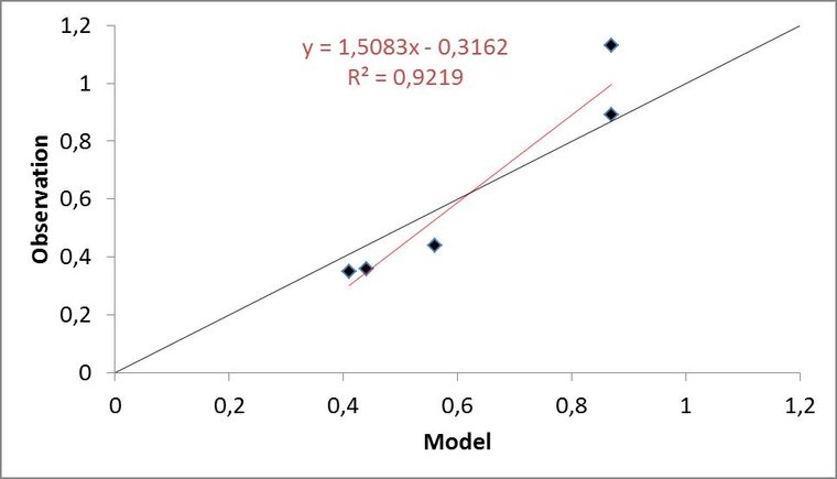
Observations compared with model data
Accumulation measurements are made from a snow pit, which is a low-tech hole dug in the snow. A snow pit provides a direct measurement of how much snow has accumulated at that time and place. However, snow does not have the same volume as water. The way to convert the amount of snow to water is to fill a fixed volume with snow and then weigh it, which gives the density of the snow. The density is a measure of how much something weighs compared to its volume i.e. mass divided by volume. When we have the density of the total snowpack, we can then calculate how much water the snowpack becomes if it all melts.
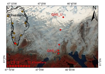
The surface mass balance of the ice sheet is calculated with a model that is fed with snowfall from DMI's research weather model HIRLAM - Newsnow. A comparison between the winter accumulation in this model and the five point measurements from the ice sheet in southern Greenland shows a good agreement. The HIRLAM grid points cover a larger geographic area than the individual point observations, which may be part of the explanation for the differences.
 |
